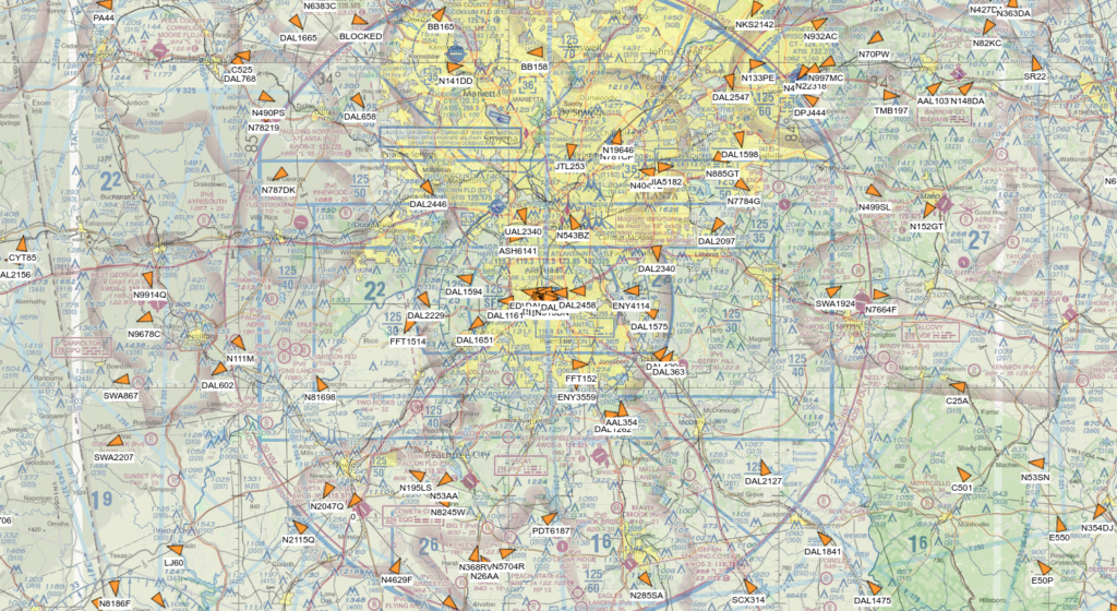
We are happy to announce that all Pelorus users now have access to an ADSB live flight tracking layer. Used in combination with other Pelorus layers including aviation chart layers, the ADSB layer can help build situational awareness of the skies over an incident or event.
Tag: Mapping
Categories
Hurricane Ida
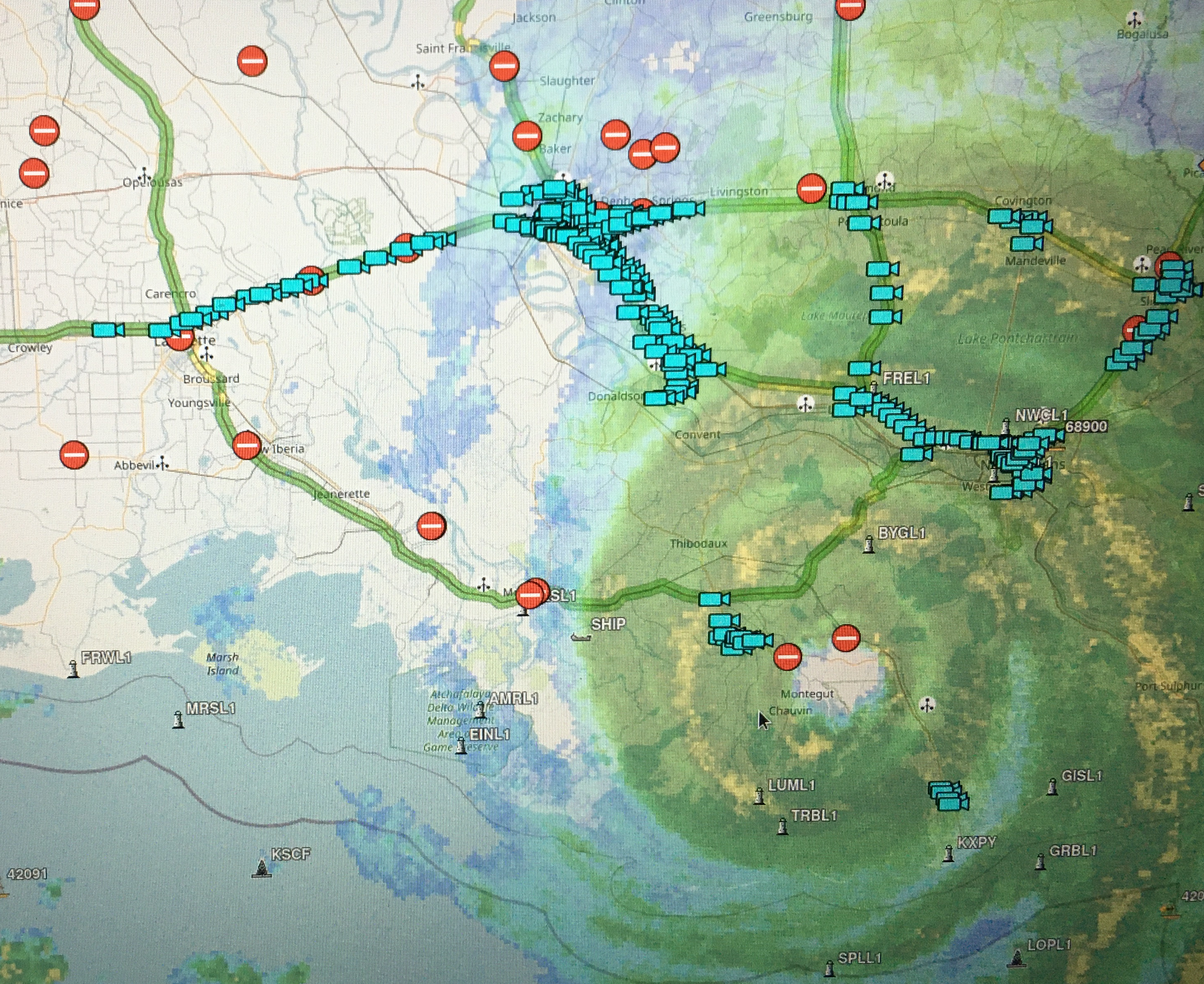
Our hearts go out to the victims of Hurricane Ida. To assist anyone working in the affected regions we have added map layers for Louisiana and Mississippi DOT and are currently working on map layers for New York, New Jersey, and Pennsylvania DOT. If you or your agency is assisting in rescue or recovery in any affected areas, please let us know if there is anything we can help you with. Reach us 24/7 at 910-777-5256.