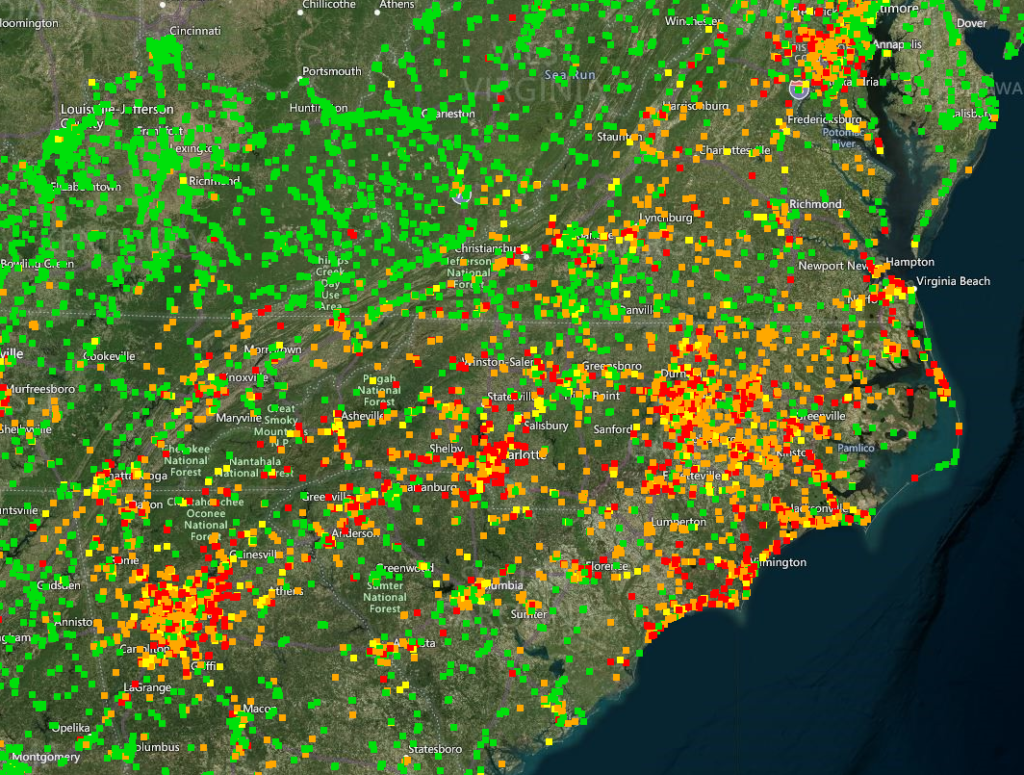
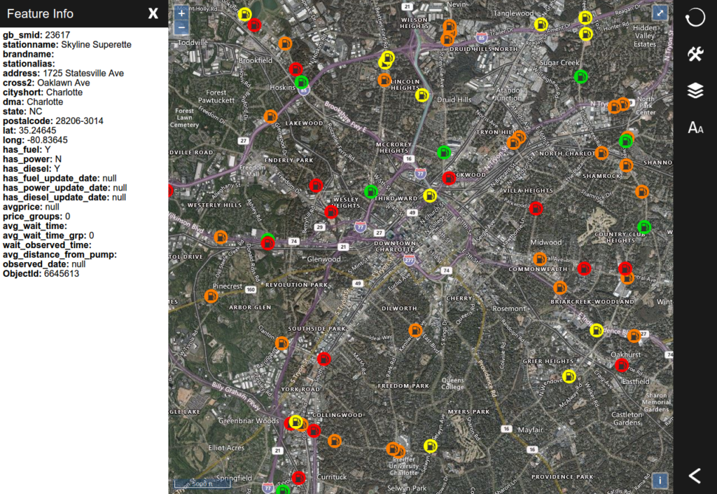
Today we are releasing an update to the Pelorus Mapping Software that includes a fuel availability layer. This layer will be useful to DEN users in the coming days as fuel deliveries resume from the Colonial Pipeline. We will leave this layer available after the current fuel shortage is over so that it can be used before, during, and after other incidents that deplete local and regional fuel supplies.

The layer displays fuel availability on a station by station basis. At higher zoom levels, stations appear as small dots and provide a heat map effect to show areas most highly impacted. At lower zoom levels, stations appear as easy to click icons which will open data collected about each station when clicked.

This layer will be included in your next DEN update. If you would like access to the layer immediately, let us know via email or phone.
For more information about DEN, it’s real-time situational awareness mapping capabilities, and how it can help your agency: https://www.densystems.com
